
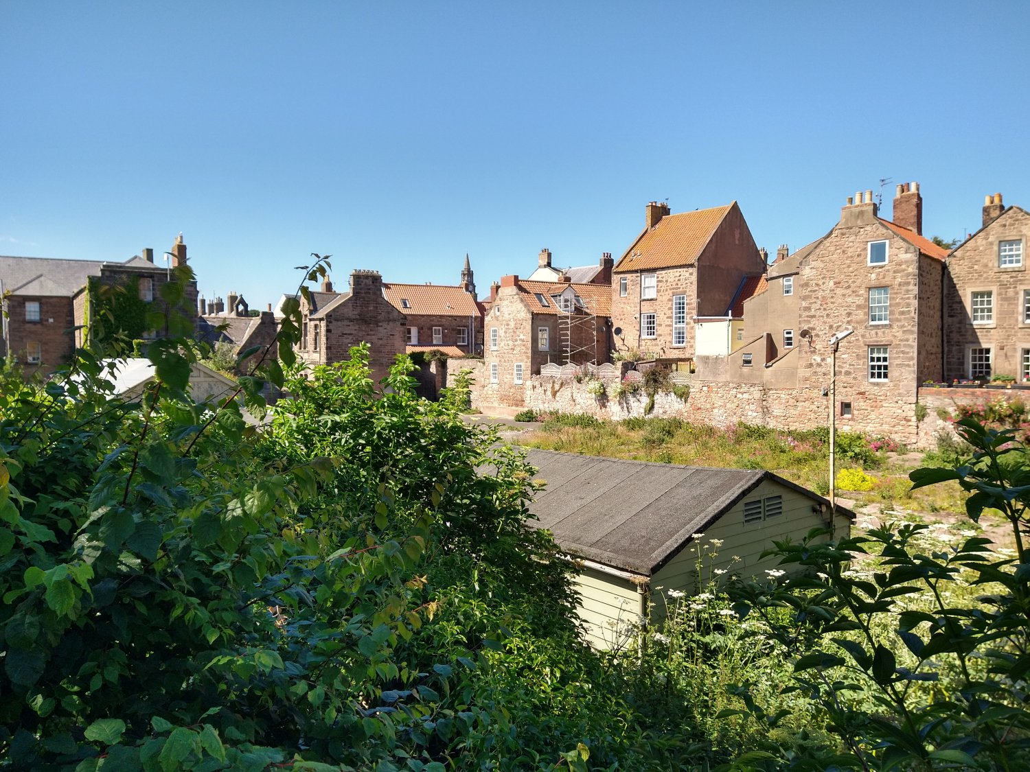
View from the Walls towards the Grammar School: at risk. The Speirs classroom and part of the Army hut roof are just visible.
The Army WWI hut is on the left, and the Speirs classroom is on the right. Spruced up, these will be both attractive and functional, and will keep the view intact.
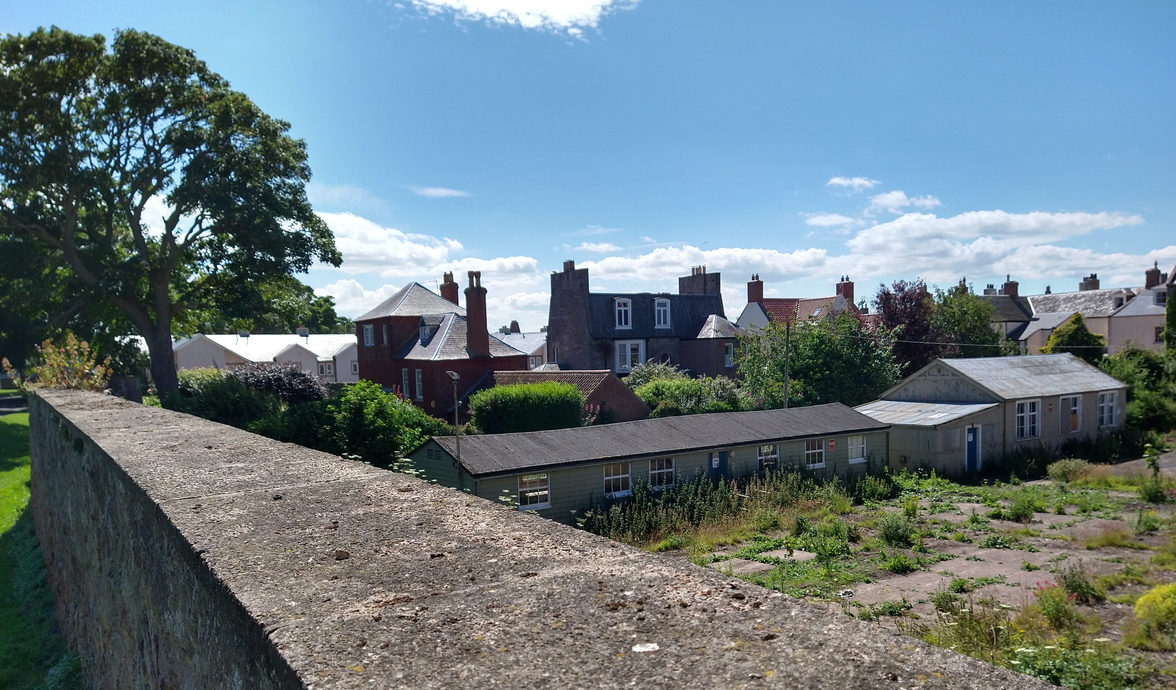
The 3.1m-high Army hut and the back of Ness Street. The height of the proposed house and garage block is 6.4m - over twice as tall as the hut!
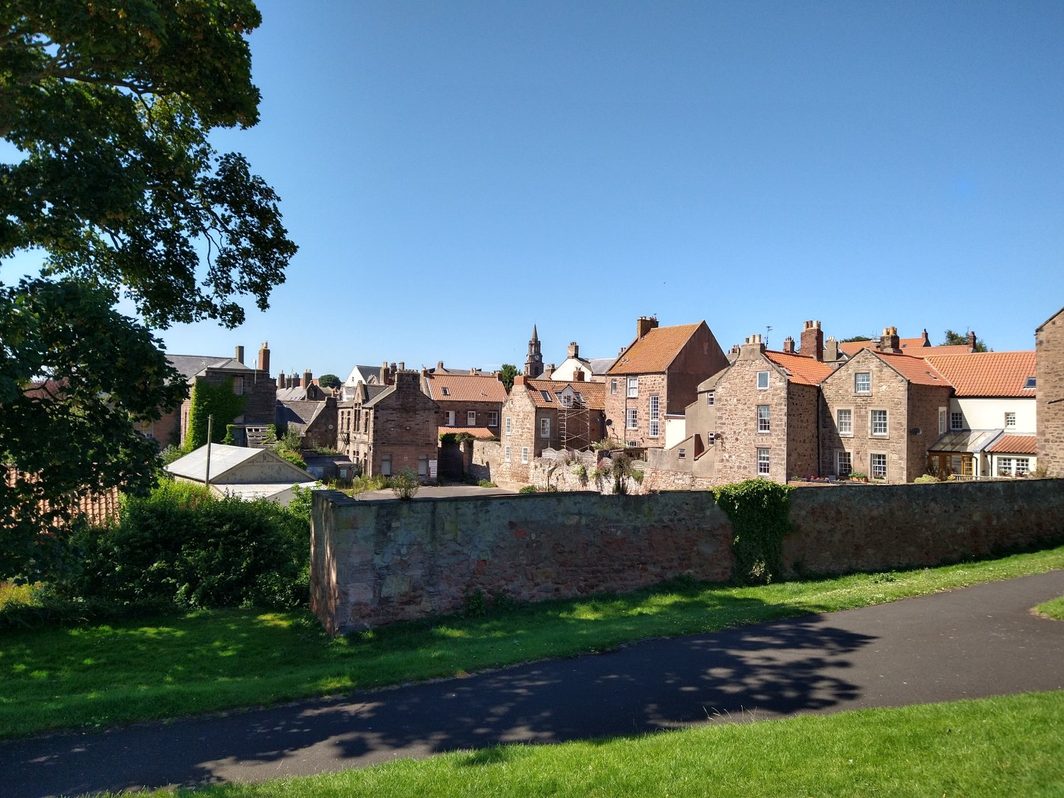
Another view from the Walls towards the Grammar School. Walking along here, the back of the modern buildings would dominate the view.
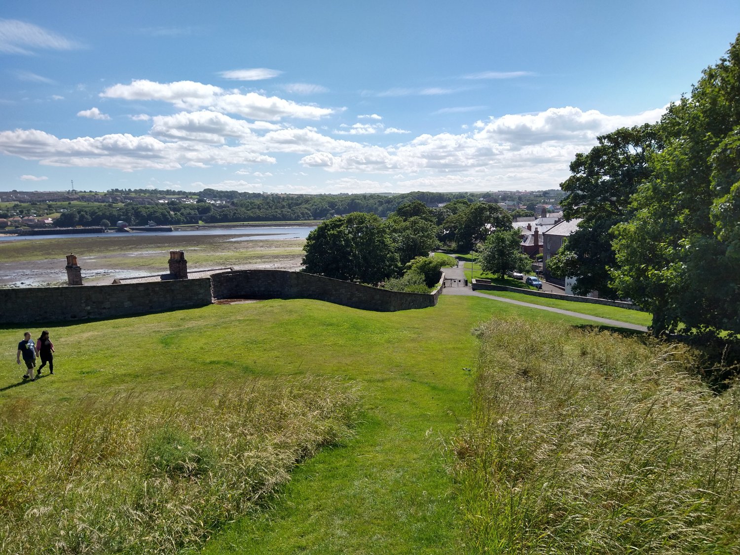
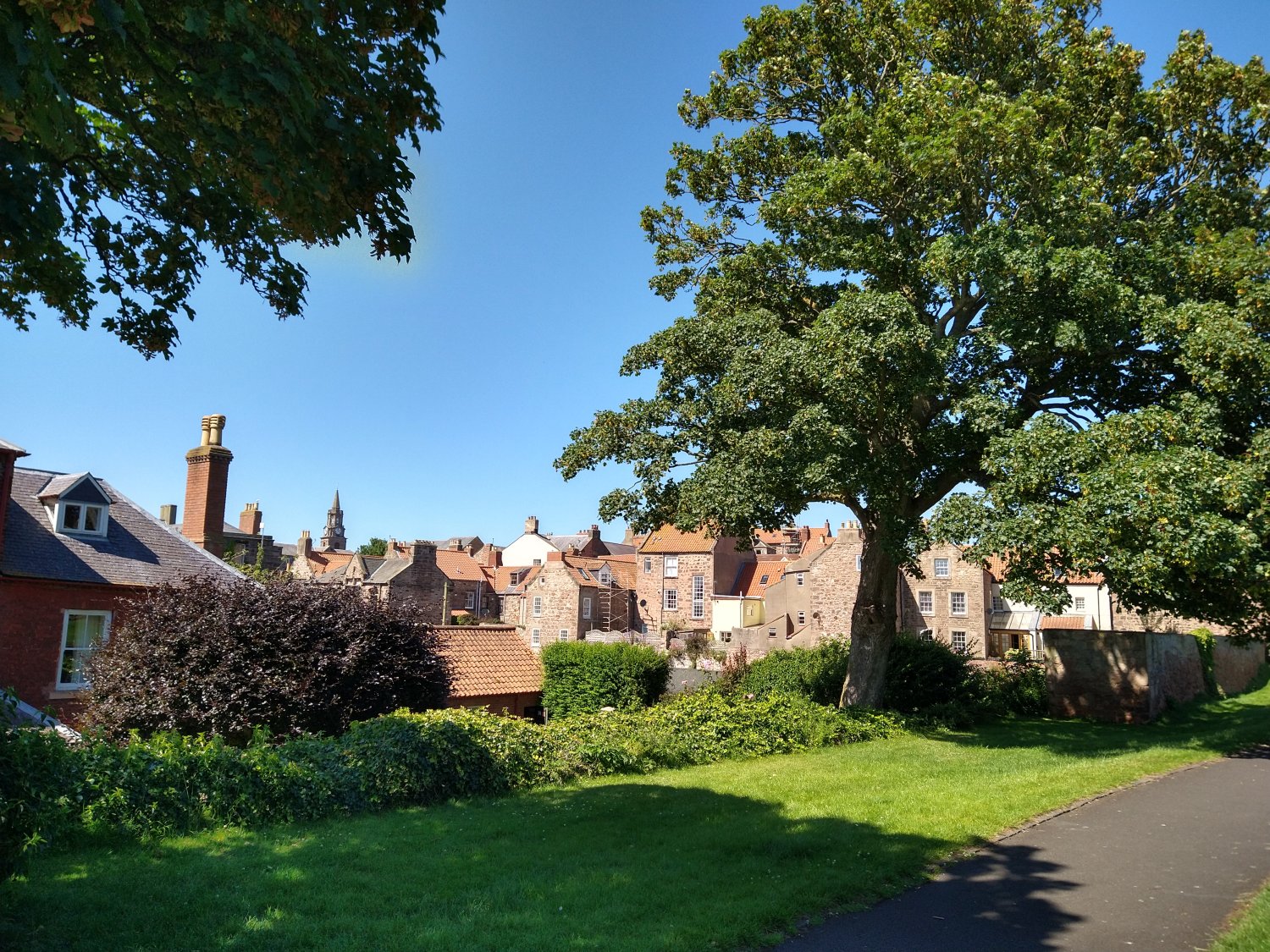
View from King's Mount towards the Grammar School yard. Walking down from here is currently a pleasure...
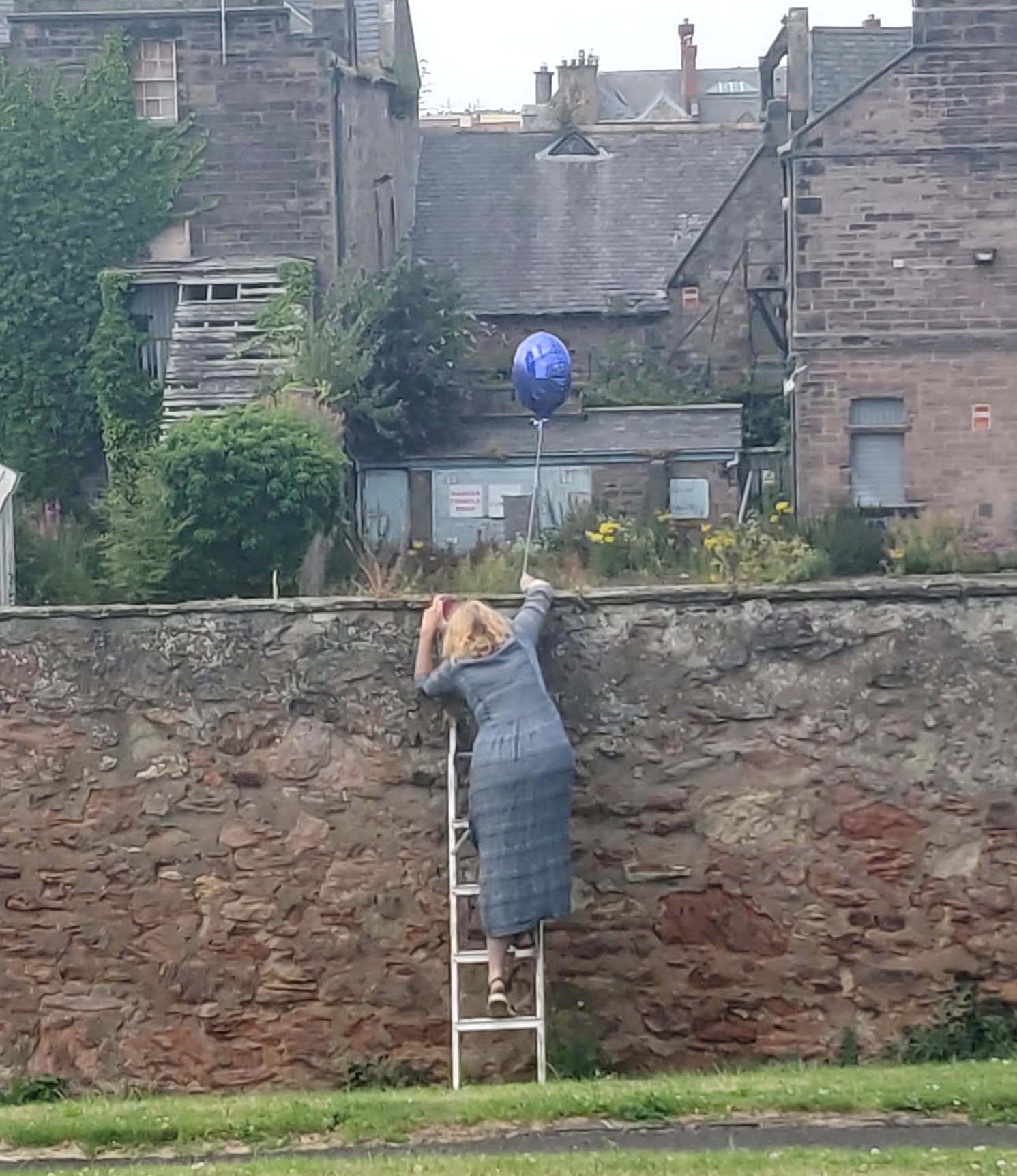
How the buildings will show above the wall: the top of the balloon is at the exact height of the new buildings, 6.4 m.
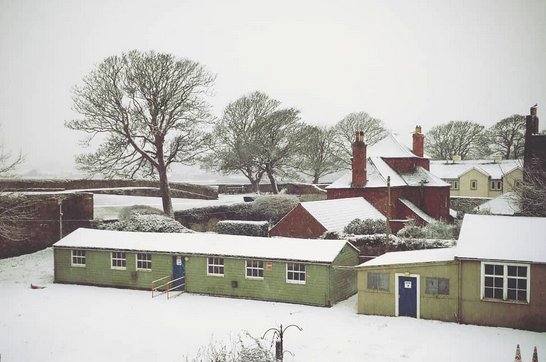
The Army hut in the snow, from Ness Street, looking towards the Town Walls.
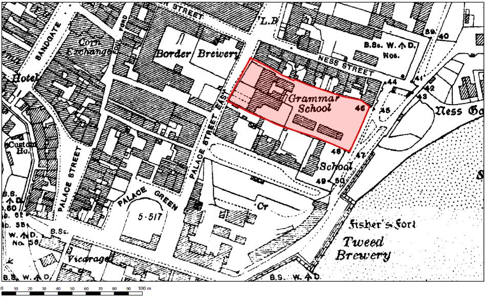
Ordnance survey map of the area in 1924, showing the huts.
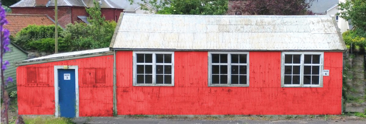
How the Speirs hut might look if painted red
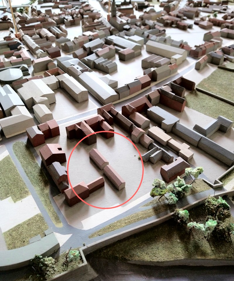
The huts in the model of Berwick at the Visitor's Centre (1)
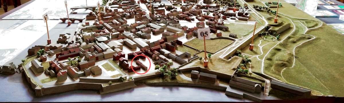
The huts in the model of Berwick at the Visitor's Centre (2)
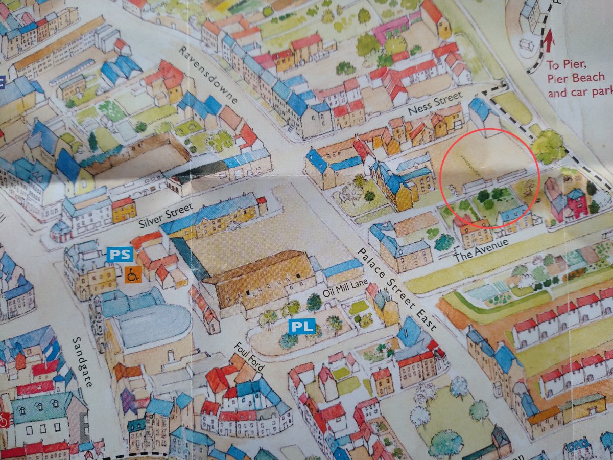
The huts as seen in the Berwick Chamber of Commerce's Town Map, 2022